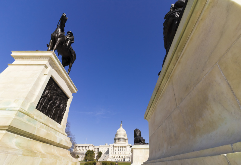
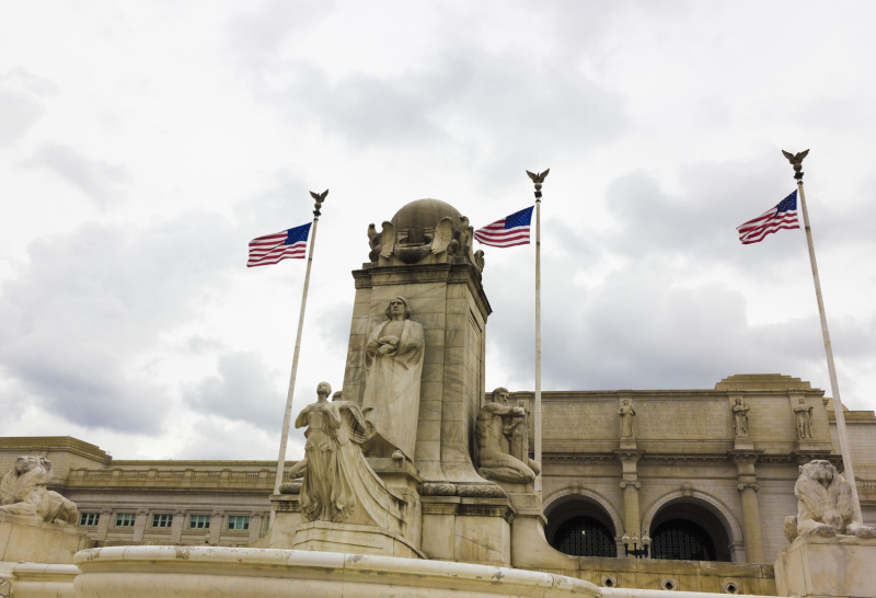
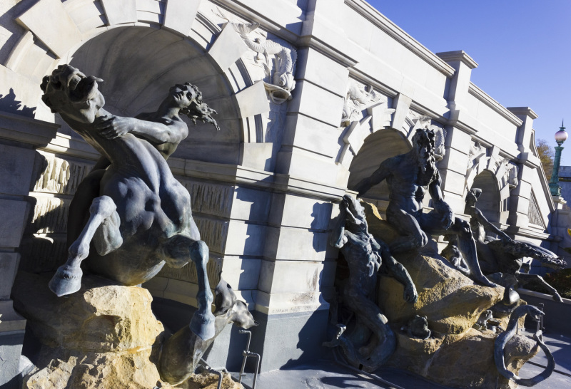
Please take a look at Capitol Hill stock photography by visiting Liberty Photo Art's photography portfolio on Adobe Stock :

Liberty
Photo Art Adobe Stock Portfolio
If you are interested in viewing more images from Capitol Hill stock photography why not visit one of Liberty Photo Art's internal photo galleries below featuring
statuary, memorials and architecture from the region:
A brief history of the region to go alongside Liberty Photo Art's Capitol Hill stock photography
- Capitol Hill is a metonym for the United States Congress.
- Capitol Hill is also the largest historic residential neighbourhood in Washington, D.C.
- Capitol Hill is one of the oldest neighbourhoods in the city and one of the most densely populated with approximately 35,000 people in a
little under 2-square miles.
- The name Capitol Hill is commonly used to refer to both the historic district and the larger neighbourhood around it.
- Geographically Capitol Hill rises close to the centre of the District of Columbia and stretches eastwards, bordered on the east by the
Anacostia River, west by The Mall and the city's central business district, north by the H Street corridor & south by the Southeast/ Southwest Freeway & the Washington Navy
Yard.
- Capitol Hill the region started to develop as the government began working at two seperate locations, the U.S Capitol & Washington
Navy Yard, becoming a distinct community between 1799 & 1810, as the federal government expanded.
- The neighbourhood grew up significantly around it's workers including the members of Congress and skilled craftsmen working at both the
Navy Yard and U.S Capitol Building.
- Today Capitol Hill still remains a relatively stable middle-class region recovering from economic decline and rising crime in the
mid-20th century.


